6800 Hoke Road, Englewood, OH 45315
(937) 837-7781 | www.mvctc.com
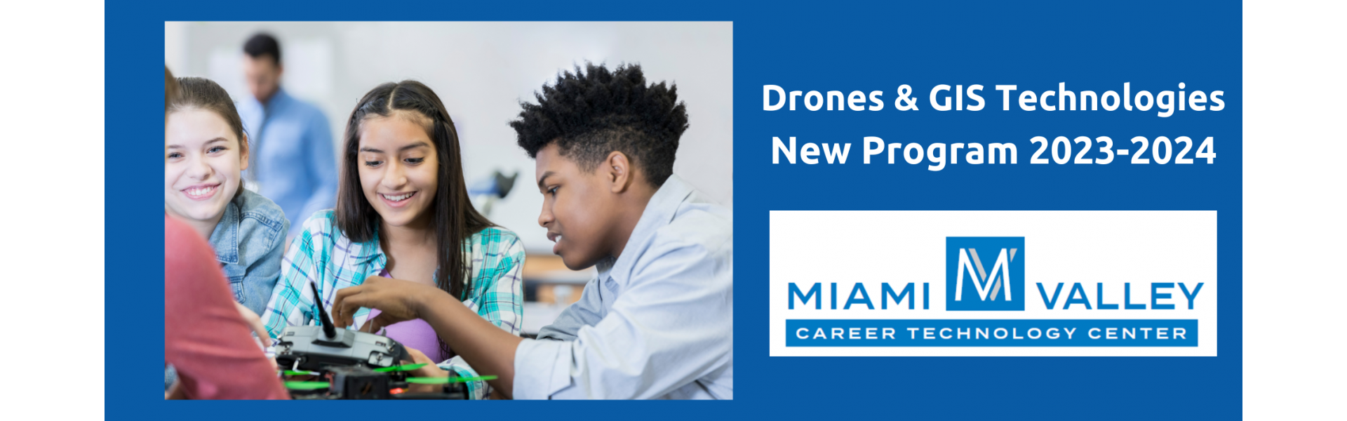
Drones & GIS Technologies
Program Information Sheet
Description
- Gain knowledge and skills in the emerging UAS (Unmanned Aerial Systems) and the GIS (Geospatial Information Systems) Fields. Students will learn GIS (Geospatial Information Systems), mission planning, and UAS maintenance and modification. They will learn to operate and fly drones using the indoor flying space, allowing them to earn their Remote Pilot Certification.
- This program is unique because students will also delve into using the data and images after learning to operate the drones. The drone information is used to understand the GIS Fundamentals and how it is used for database analytics.
- Drones & GIS Technologies is an emerging career field with endless possibilities. Growth areas include first responders, precision agriculture, data analytics, sensor operations, infrastructure inspection, aerial mapping and surveying, logistics, security, and more.
Work-Based Learning Opportunity - Advanced Placement
Curriculum Plan Career Tech courses you will be taking along with college credits and certifications available.
Suggested Skills For Success
Certifications Opportunity to earn the following certifications in this program.
- Remote Pilot Certification
- GIS Fundamentals Foundation
- Microsoft Office Specialist (MOS)
- Microsoft Office Specialist (MOS) Access
- Microsoft Office Specialist (MOS) Outlook
- Microsoft Office Specialist (MOS) PowerPoint
- Microsoft Office Specialist (MOS) Excel
- Microsoft Office Specialist (MOS) Word
College Connections
Additional Links
Ohio Means Jobs Related Occupations Search
-
- Occupation
- Precision Agriculture Technicians
- Description
- Apply geospatial technologies, including geographic information systems (GIS) and Global Positioning System (GPS), to agricultural production or management activities, such as pest scouting, site-specific pesticide application, yield mapping, or variable-rate irrigation. May use computers to develop or analyze maps or remote sensing images to compare physical topography with data on soils, fertilizer, pests, or weather.
- Average Annual Salary
- $38,250
- Education
- Associate's Degree
-
-
- Occupation
- Remote Sensing Technicians
- Description
- Apply remote sensing technologies to assist scientists in areas such as natural resources, urban planning, or homeland security. May prepare flight plans or sensor configurations for flight trips.
- Average Annual Salary
- $45,750
- Education
- Associate's Degree
-
-
- Occupation
- Geographic Information Systems Technologists and Technicians
- Description
- Assist scientists or related professionals in building, maintaining, modifying, or using geographic information systems (GIS) databases. May also perform some custom application development or provide user support.
- Average Annual Salary
- $99,360
- Education
- Bachelor's Degree
-
-
- Occupation
- Remote Sensing Scientists and Technologists
- Description
- Apply remote sensing principles and methods to analyze data and solve problems in areas such as natural resource management, urban planning, or homeland security. May develop new sensor systems, analytical techniques, or new applications for existing systems.
- Average Annual Salary
- $103,300
- Education
- Bachelor's Degree
-